
8/6 Forecast
1. Pressure System
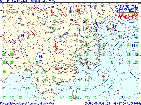
1. Surface Pressure


-
High-pressure systems form to the east and west of the Korean Peninsula, placing it in a stable position between the highs.
2. 925 hpa

-
A distribution of high geopotential heights aloft over the Korean Peninsula indicates an upper-level high-pressure system.
-
Together with the stagnant high pressure at the surface, this suggests a strengthening of the heat wave.
3. 850hpa


-
The high-pressure system remains stationary over the Korean Peninsula, creating descending airflows and an anticyclonic circulation.
-
Although upper-level temperatures have slightly decreased compared to the previous day, the stagnant atmospheric structure prevents sufficient release of radiant heat, causing it to accumulate.
-
As a result, nighttime cooling is limited, maintaining the potential for tropical nights.
2. Wind
850hpa Stream Line & Isotach


-
Rather than a distinct large-scale circulation, overlapping rotational flows from smaller high and low-pressure systems are observed.
-
The Korean Peninsula experiences generally weak winds and widely spaced streamlines, indicating stagnant airflow.
-
The clockwise anticyclonic flow induces subsidence and low-level divergence, suppressing atmospheric mixing and creating stable conditions.
-
In other words, these stable atmospheric conditions favor the accumulation of radiant heat.
3. Precipitation/ Humidity

The inflow of southwest wind-based wet air continues, and atmospheric instability is high in the central inland
Showers, thunderstorms, and local torrential rain are likely in Gyeonggi-do
01
850hPa Moisture Flux
-
Wet southwest wind air flows in. Moisture converges to central and southern parts of the Korean Peninsula
-
Water convergence from the southwest sea to the inland of the Korean Peninsula -> Precipitation is high likely
03
850hPa Streamline and Isotach
-
Formation of lower jets strong in the eastern sea of Japan
-
The Korean Peninsula is covered by some of the weak lower jets at the level of 25~35 kt.
02
1000-500hPa Thickness & 700hPa T-Td
-
Distribution of low wet water values in central inland and southern parts -> Humidity high
-
Possibility of local atmospheric instability near central inland and southern coast.
04
K-index
-
Overall distribution 30~ 40 -> atmospheric instability, especially in southern regions
-
Gyeonggi-do: about 40->Local strong convective precipitation, including thunderstorms, is expected in the south
4. Cloud

-
A very thick cloud belt is formed throughout the central and southern inland areas of the Korean Peninsula, and severe convective activity and strong showers are expected.
-
Convective clouds are observed throughout the Korean Peninsula
5. Temperature
2024.08.06|21KST

-
As of 9 AM on August 6th, following the dry adiabat line from the 850 hPa temperature on the thermodynamic chart down to the surface, the maximum temperature is expected to be approximately 33°C.
2024.08.05|21KST

As of 9 PM on August 5th, the minimum temperature in Seoul on August 6th is expected to be approximately 24°C.
8/6 Observation
1. Wind


2. Precipitation

30mm in Gapyeong, Gangwon Gangneung, Gangwon Samcheok, Jeonbuk/ Busan 20mm/ Gyeongnam 30mm/
In particular, 60mm heavy rain in Chuncheon and Hwacheon, Gangwon, and 90mm heavy rain in Cheorwon, Gangwon
3. Temperature

-
Daily average
→ All of South Korea is recording high temperatures around 30°C or higher
-
Climate deviation
Most regions have temperature variations of +2,3°C and some have
temperature variations of +4,5°C
-
Standard score
Z-Score is 0.25, 0.5 or higher in most of the country
-
Maximum temperature is 33.5°C, 2.5°C above last year (31.0°C)
-
Minimum temperature is 25.6°C, 1.6°C above last year (24.0°C)
